Skip to content
Mount Kenya, Kenya

Destinations / 07 / MTK

MountKenya

Glaciers almost exactly on the equator.

Coordinates
00°09′S 37°19′E
Elevation
5,199 m Batian
Area
715 km²
From Nairobi
3 h drive to Nanyuki
Region
Central Highlands
From
$1,420 pp

[A]Briefing

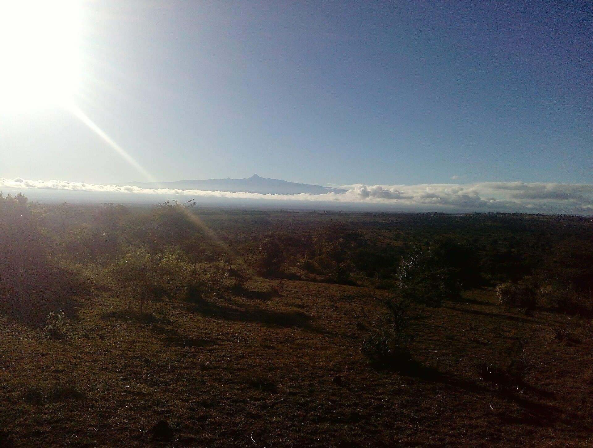
Africa's second-highest mountain is an eroded volcano. Its slopes climb through bamboo forest and giant-lobelia moorland to equatorial glaciers. Point Lenana (4,985 m) is a serious trek, but no technical climbing is needed.

[B]What you’ll do

  1. 01Sirimon–Chogoria traverse to Point Lenana
  2. 02Afro-alpine moorland with giant groundsels
  3. 03Rhino tracking at nearby Ol Pejeta Conservancy
  4. 04Crossing the equator line at Nanyuki

[C]Season curve

Jan
Feb
Mar
Apr
May
Jun
Jul
Aug
Sep
Oct
Nov
Dec

Prime: Jan · Feb · Aug · Sep

Next destination →

Nairobi

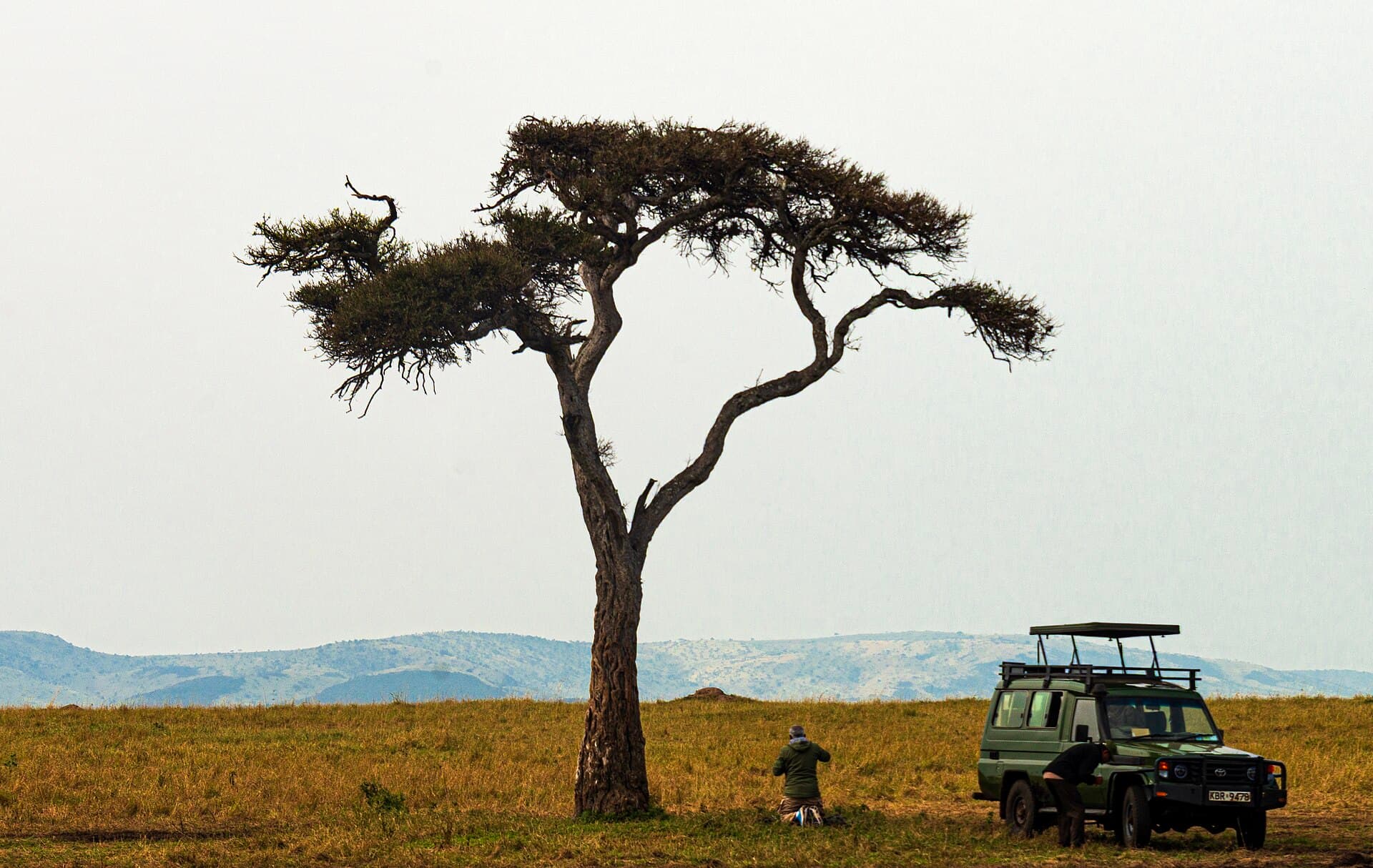
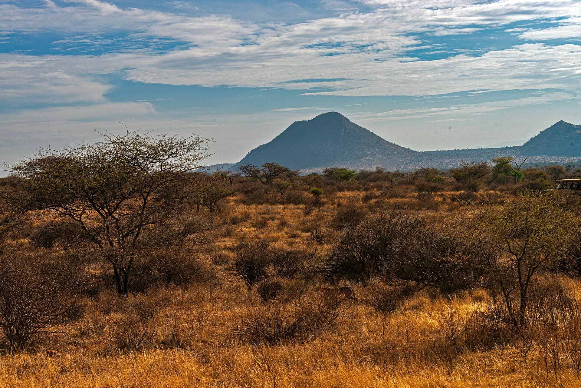
Safari vehicle parked beneath a lone acacia on the Mara plains

◆ Route builder online

Plot your own line across Kenya.

Pick destinations, dates and a budget. A Nairobi-based planner sends back an itinerary with a map within 24 hours. There’s no obligation and no call centre.